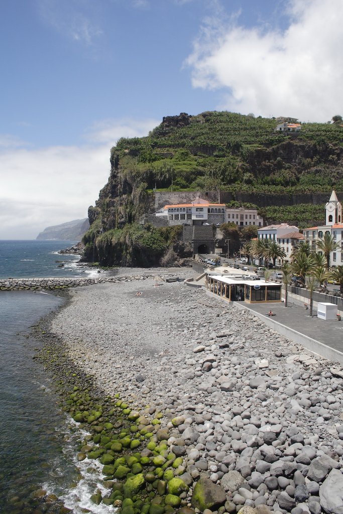
Up Ron & Marjolijn's holiday pictures » 2008-05 Madeira Prev Next Slideshow

 Previous image  Next image  Index page  Original Image [34-Beach.jpg - 1021kB]
22-Marjolijn likes the view
23-View of the town
24-The swimming pool
25-Very steep coast
26-Machico
27-Road to Pico do Arieiro
28-Road to Pico do Arieiro
29-On the top
30-On the top
31-Path to the Pico Ruivo
32-Path to the Pico Ruivo
33-Seaview
  34-Beach.jpg - Beach  
35-The track to the Pico Ruivo
36-Mountains around the Pico Ruivo
37-The track to the Pico Ruivo
38-Mountains around the Pico Ruivo
39-Mountains around the Pico Ruivo
40-Mountains around the Pico Ruivo
41-The Pico Ruivo
42-The track to the Pico Ruivo
43-The track to the Pico Ruivo
44-Traditional house
45-Arco de Sao Jorge
46-Landscape

Beach Download Original Image
Latitude: N 32°40'42,99" | Longitude: W 17°6'14,89" | Altitude: 19 metres | Location: Ponta do Sol | State/Province: Ilha da Madeira | Country: Portugal | Copyright: Ron Harkink | See map
Total images: 62 | Help